Five's Maps
Welcome to Fives Maps
Maps of the WWII Online Game World
Printable Game Maps
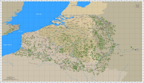
Game Maps of the WWII Online Battleground Europe game world since 2001. Originally known as Allied Cartography within the AHC I changed the name in 2002 to Fives Maps to provide maps to all players.
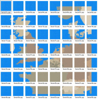
Everything I create is based on the in-game map. I built the entire theater at 800 meters = 32 pixels. An enormous map broken into 56 files all based on the first sector, the Belgium Sector. An exact copy to the in-game map, a really really really really big map.
|
|
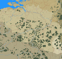
| The Belgium Sector | Source material I use to build maps, 56 Image files that make up the theater. |
Most maps are built to be printed "Fit to Page Landscape". Brouse the site, grab what you need and happy printing.
12 Page Map
I put this together carefully and you get a nice wall map on the cheap. Approximately 42 by 24.5 inches put together.
12 Pages - 12Pages.zip
All together in 1 Page - 12page.gif
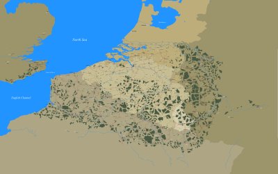
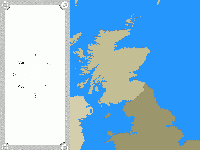
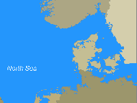
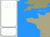
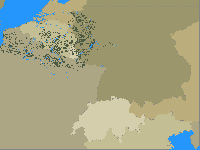
4 Page Theater Map
 |
|
 |
|
Construction Maps
Material for what ever you need
Below you will find some material I hope you will find useful for what ever project your working on. If there is somthing specific you need just email me, be happy to help.
| Blank 135 Map | A blank map. No frame, text, or grid. | Dimensions 1799 x 8752 | In Color. | 800 meters = 32 pixels. | 135map05 | 1 page, no frame, all cities labeled, small text, no grid, forward bases marked. | Dimensions 18368 x 11520 | In Color. | 800 meters = 32 pixels. | 135map06 | 1 page, no frame, all cities labeled,large text, no grid, forward bases marked. | Dimensions 18368 x 11520 | In Color. | 800 meters = 32 pixels. |
be134map
1 page, with AWS frame and grid, no text, no forward bases. Index coordinates in the top left corner. Dimensions 18495 x 9248 In Color. 800 meters = 32 pixels. be135map 1 page, with AWS frame and grid, no text, no forward bases. Index coordinates in the top left corner. Dimensions 18495 x 9248 In Color. 800 meters = 32 pixels. Zeeland Islands A blank map of the zeeland islands. Black and White. 800 meters = 64 pixels. Antwerp A blank map of Antwerp. Black and White. 800 meters = 195 pixels. |
